


Blueprints for Green Spaces: Reimagining Rutherford Ave with Water at its Heart
Spring 2024
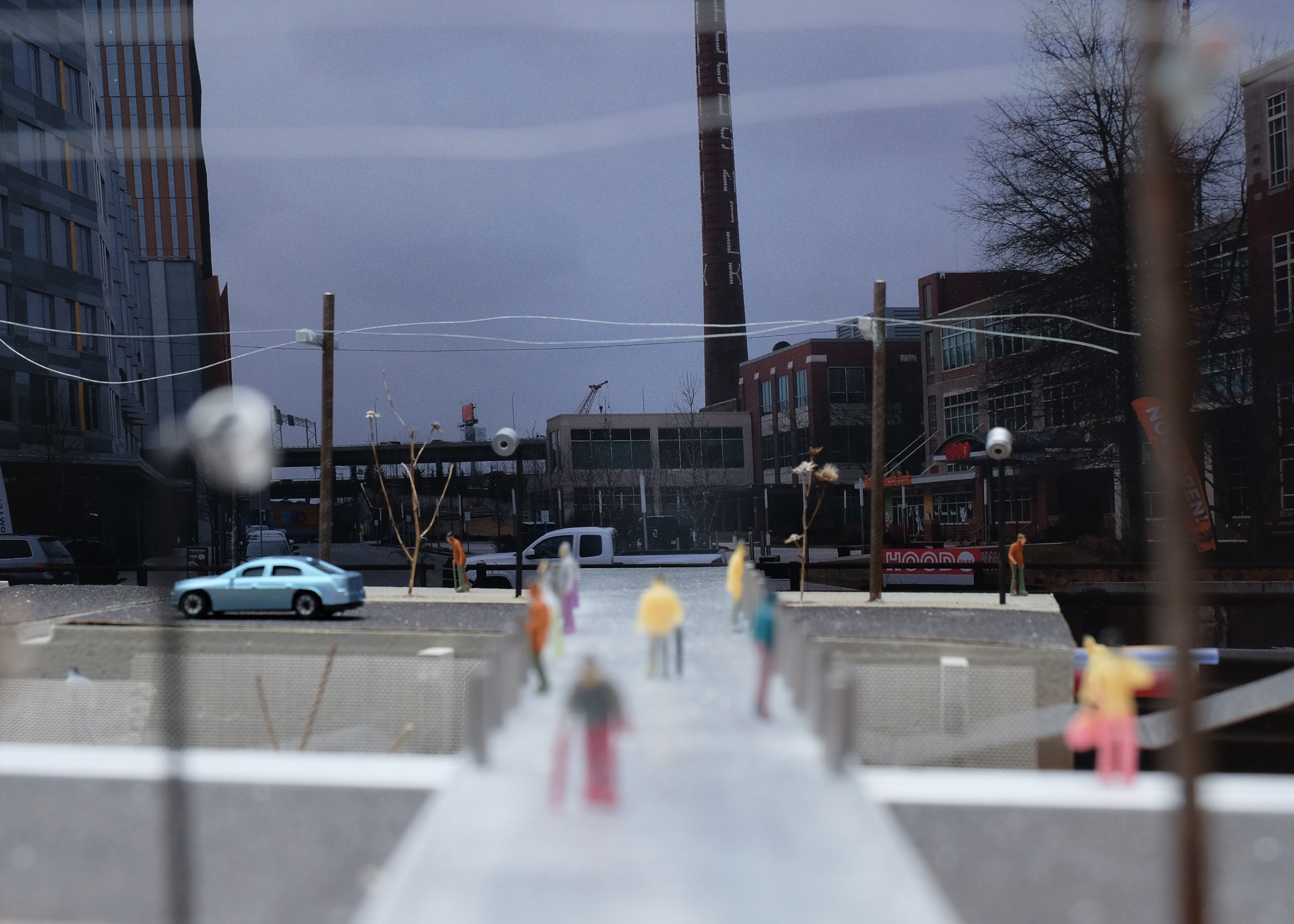
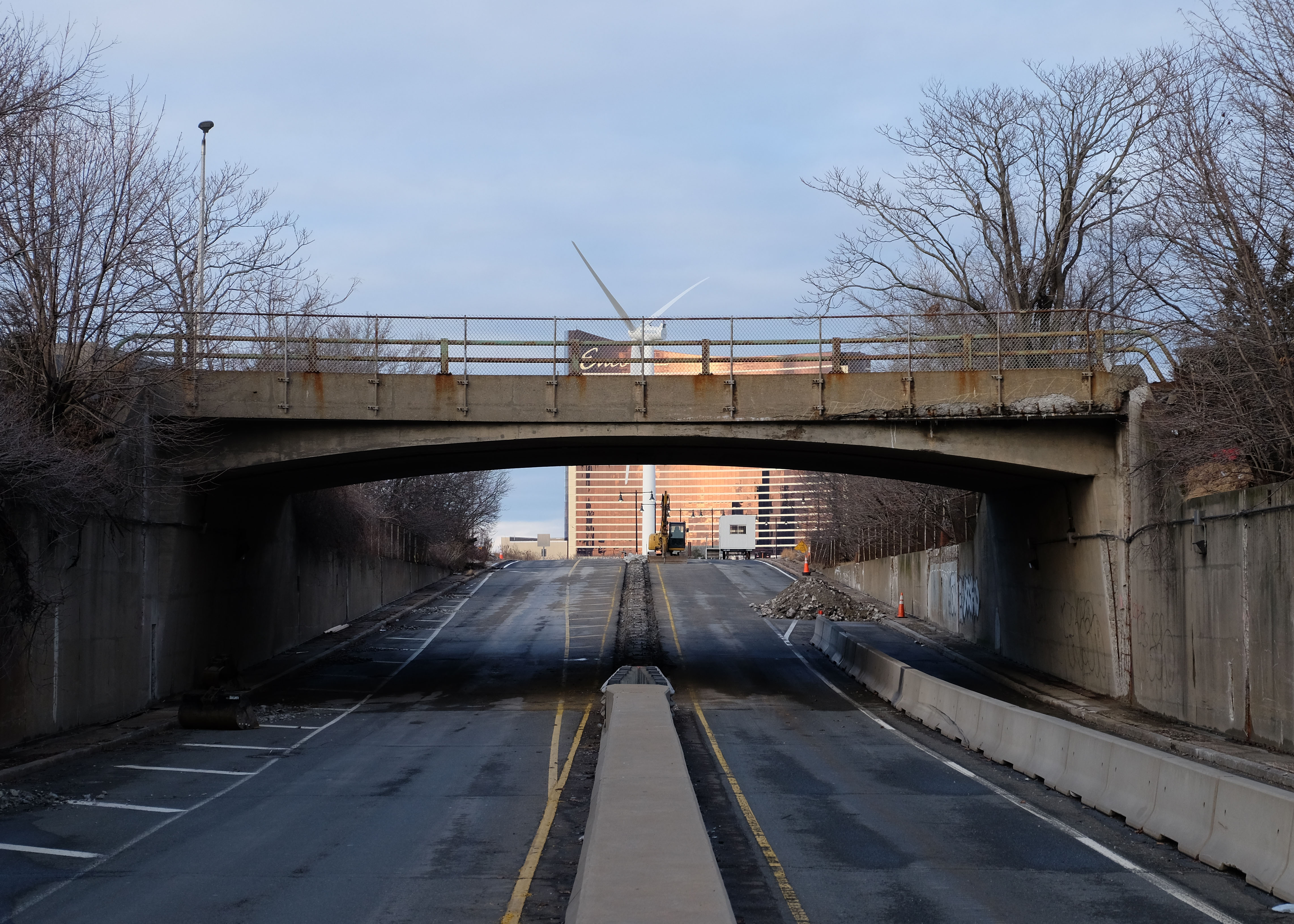
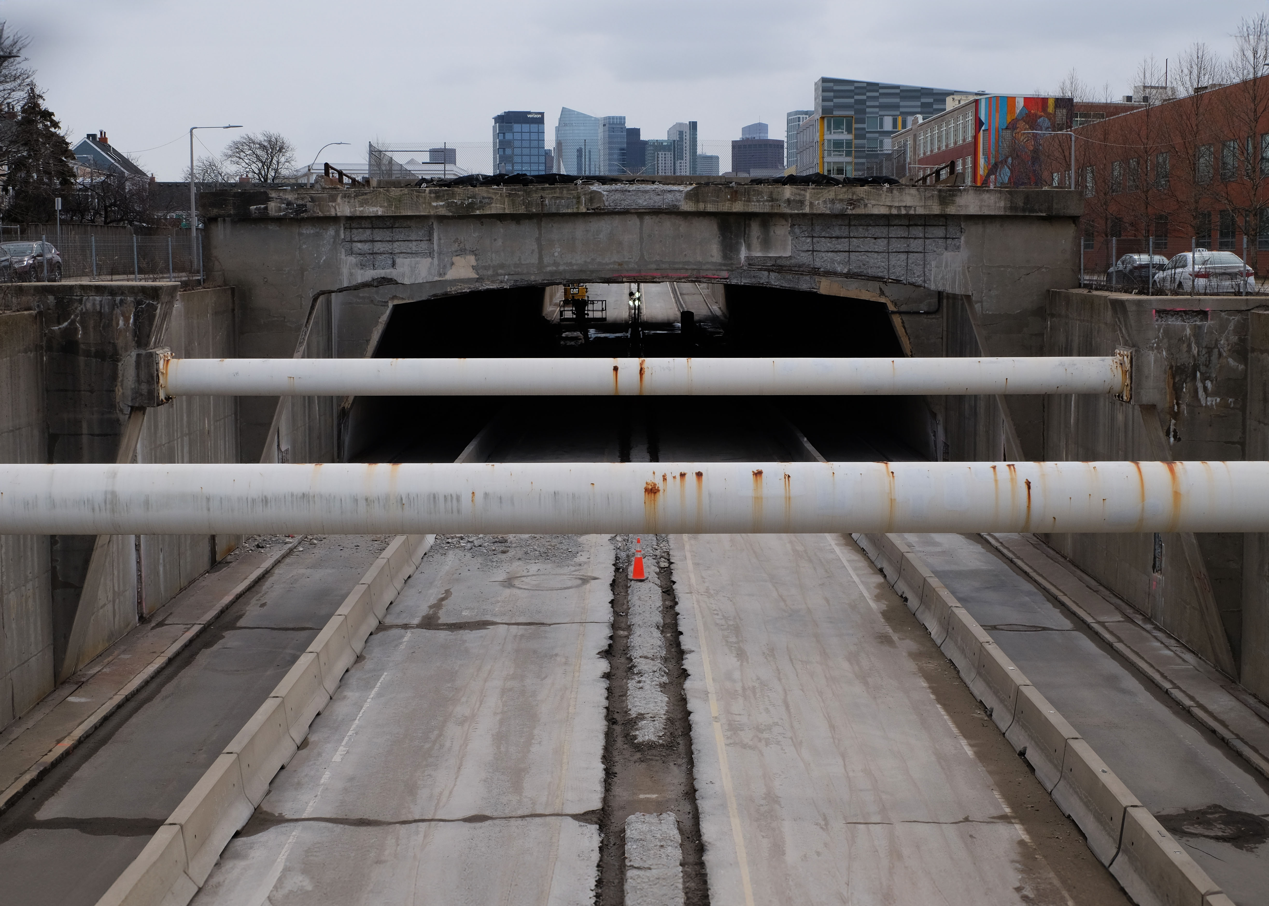
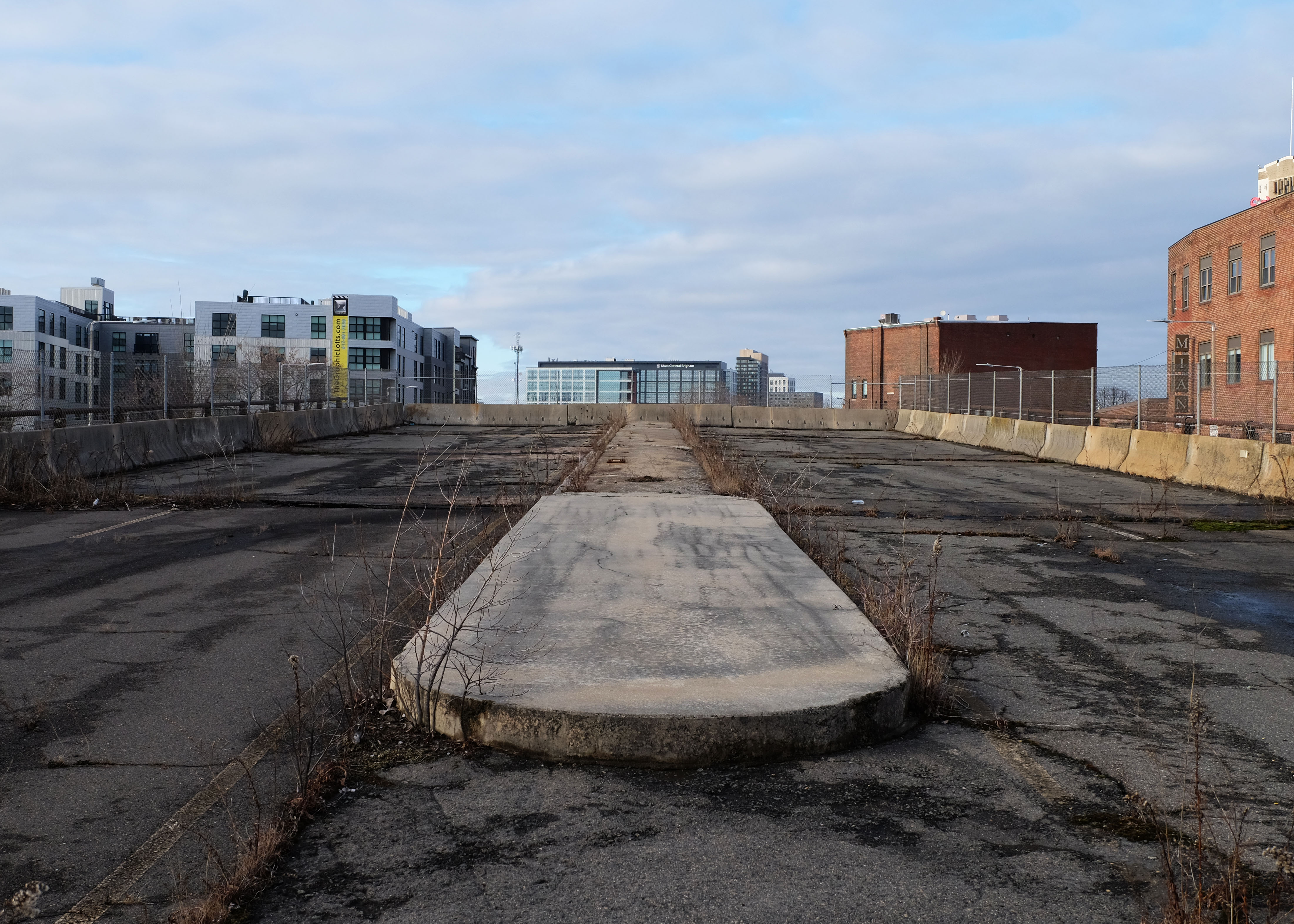
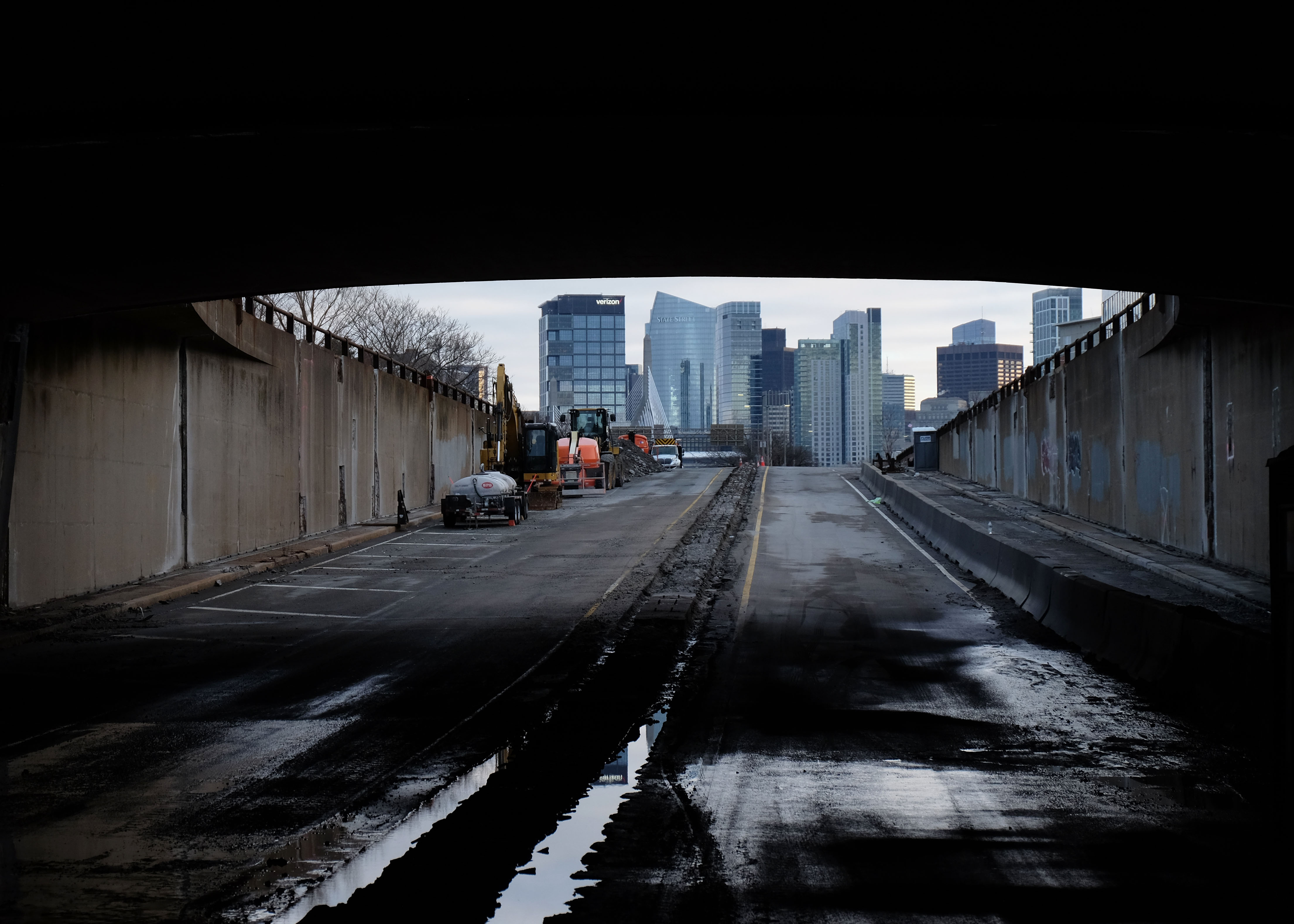
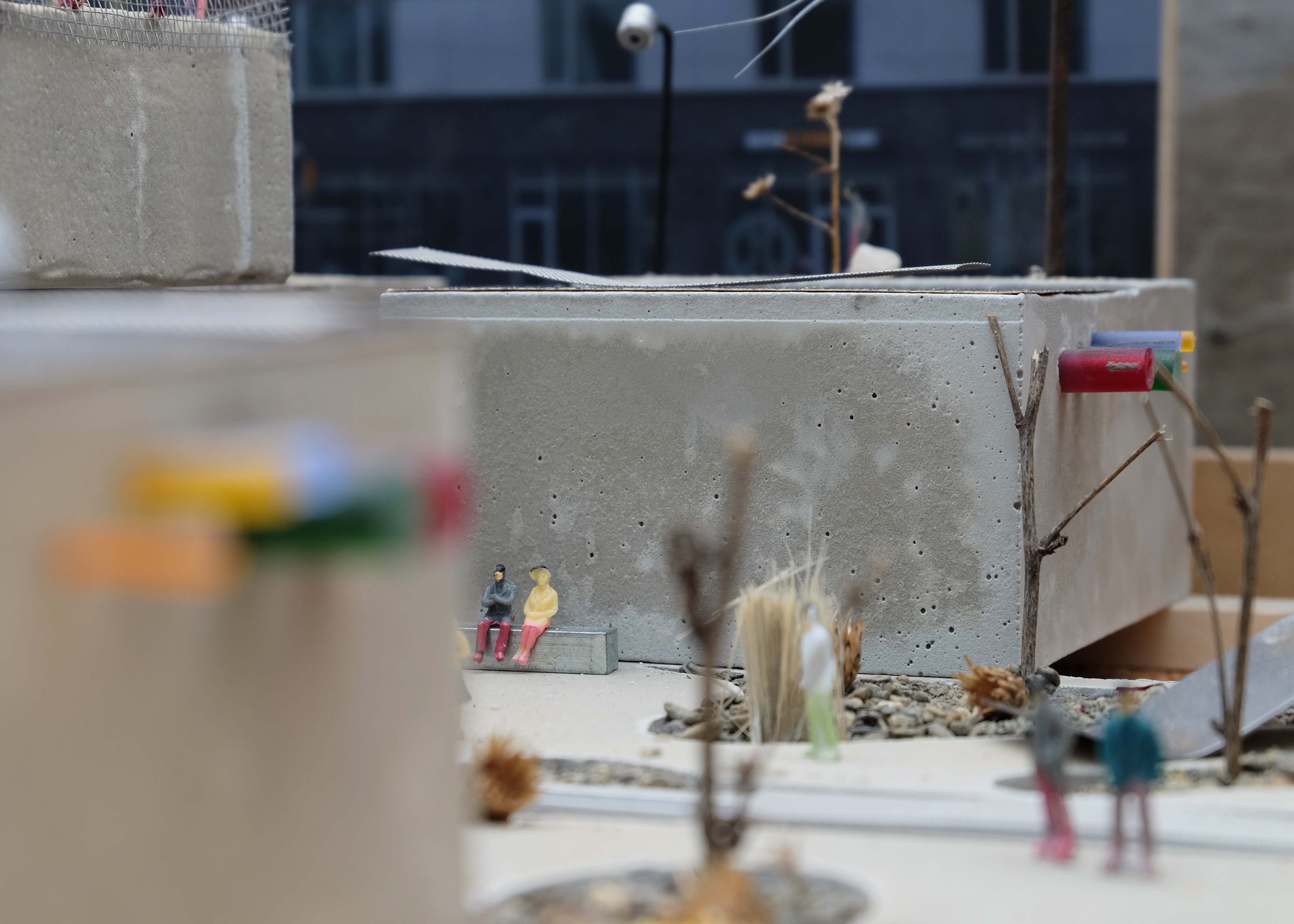
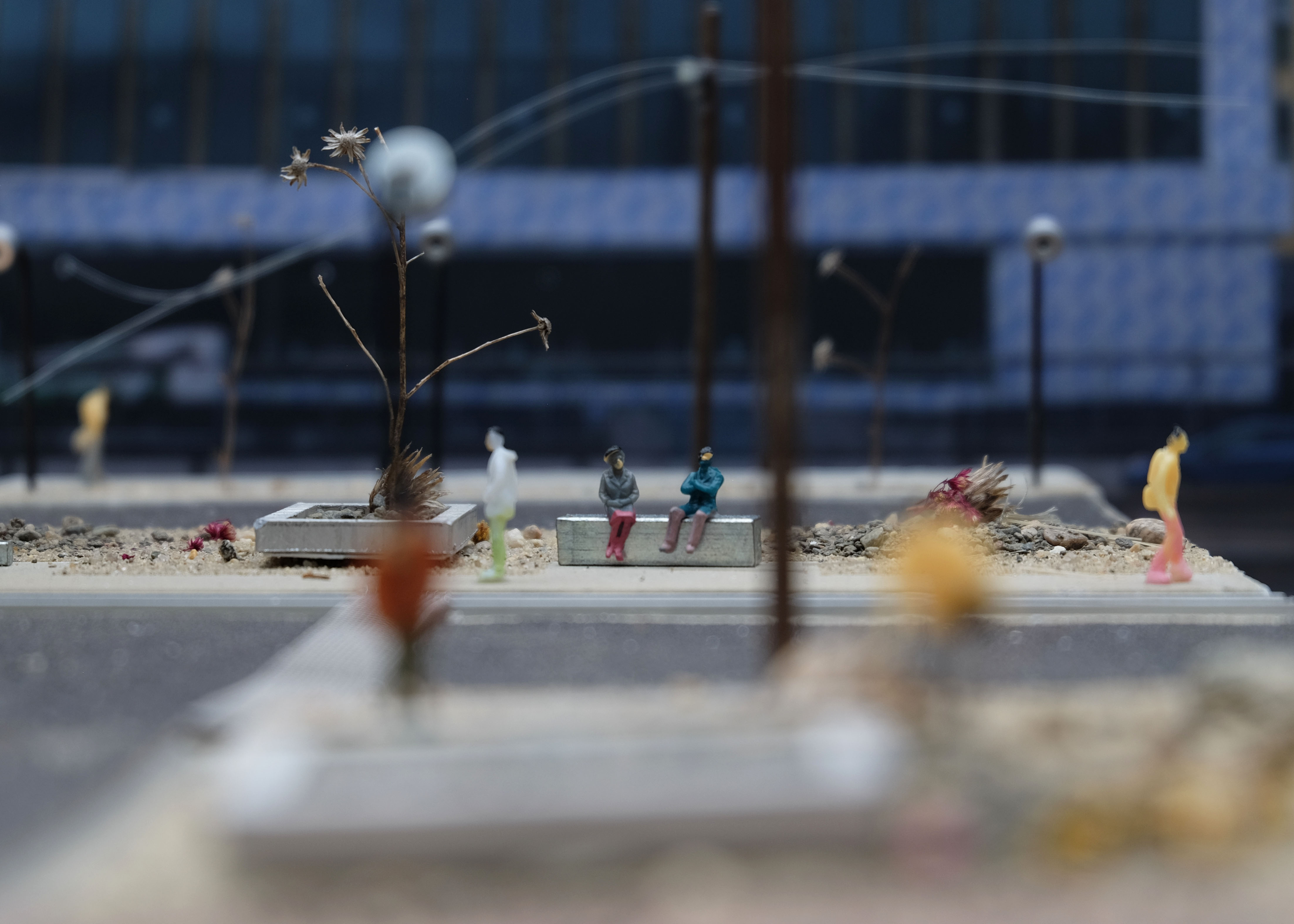
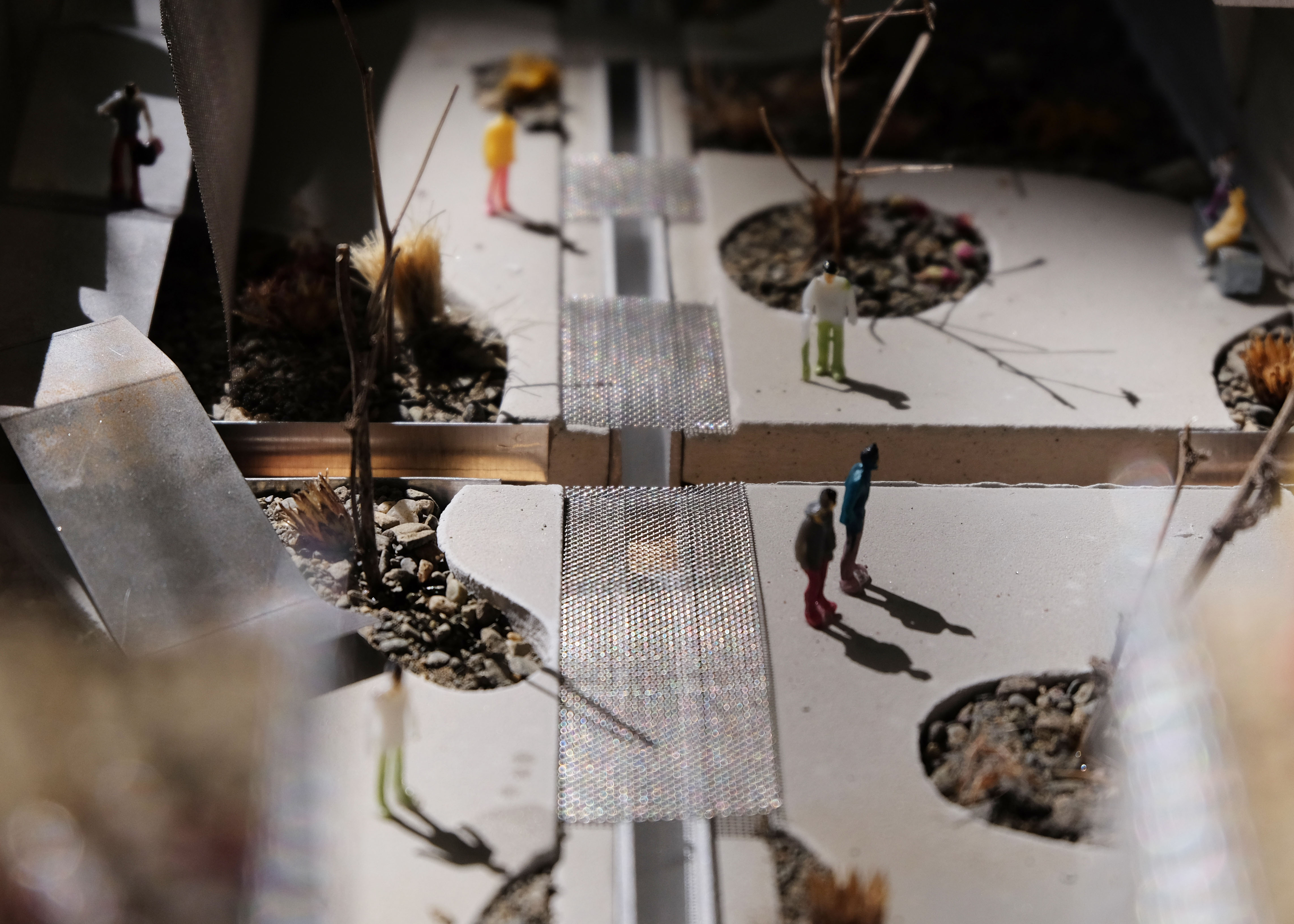
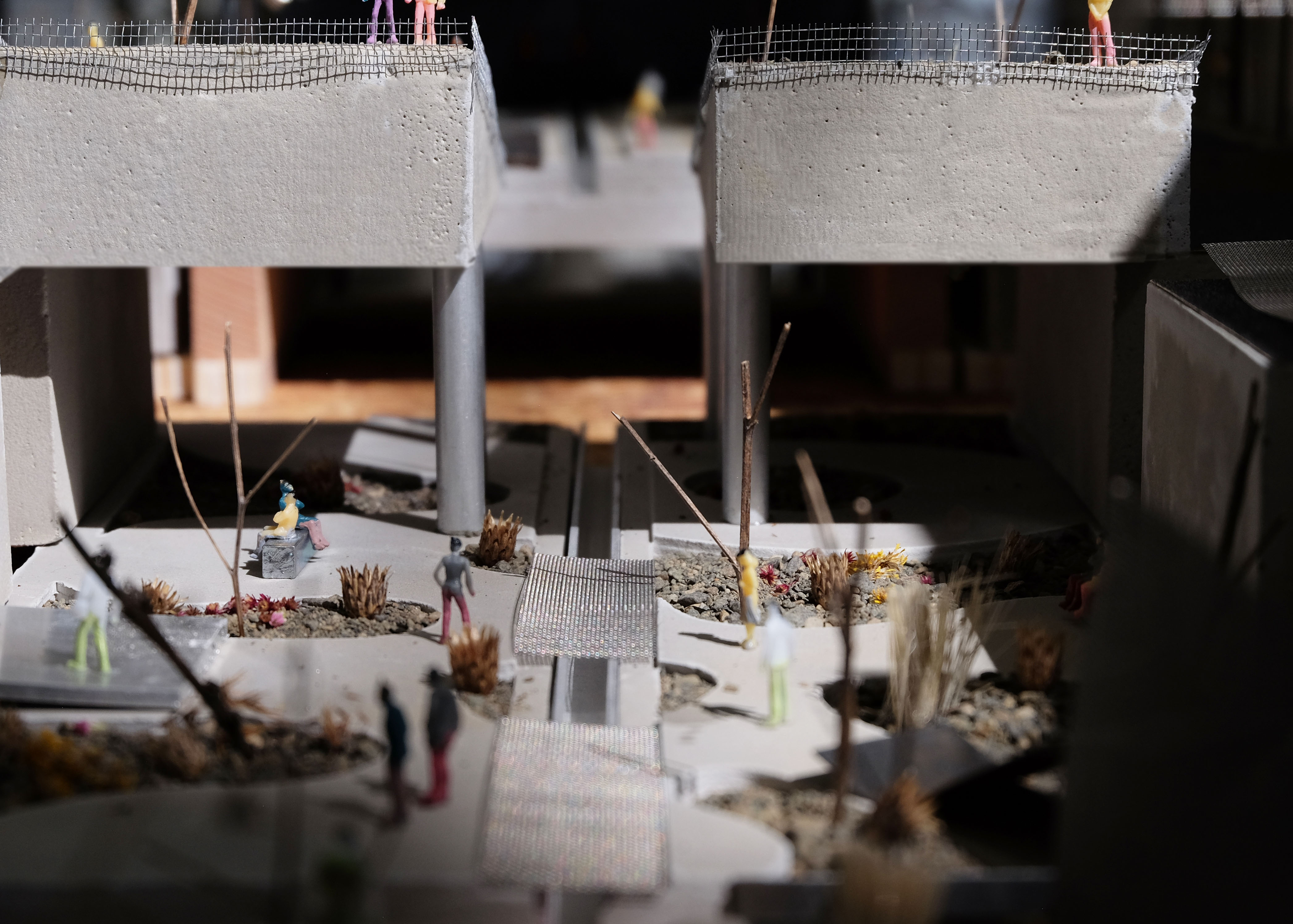
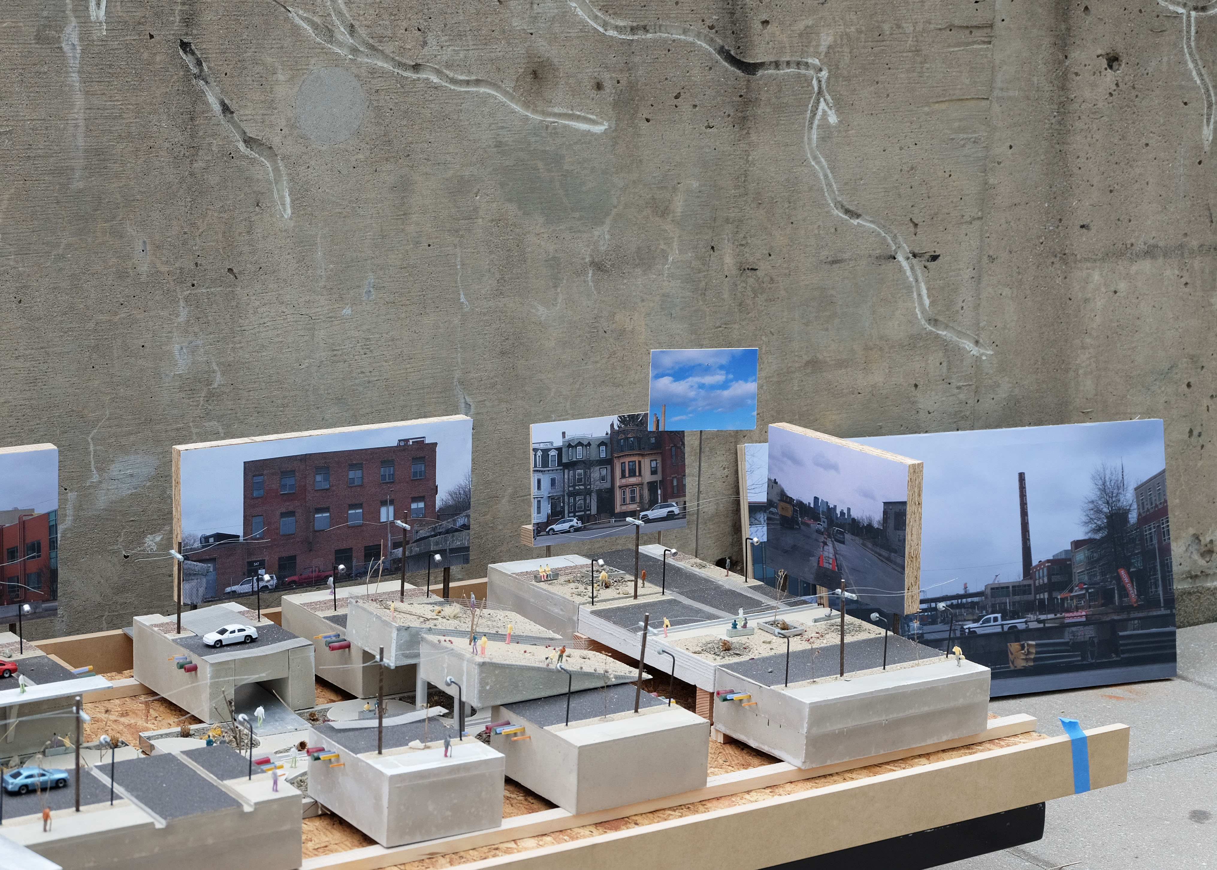
This project seeks to reintegrate Charlestown's community by repurposing the infrastructure of Rutherford Avenue—a key artery originally designed as a towpath along the Middlesex Canal connected Boston to the Merrimac River in the early 1800’s. This towpath eventually became a key transportation artery that has only grown in size over the years. Historically, this area, inclusive of the Sullivan Square station and its park, has been central to Charlestown's identity. However, due to Charlestown's unique topography and the increasing frequency of severe storm events, the area faces significant storm water flooding risks.
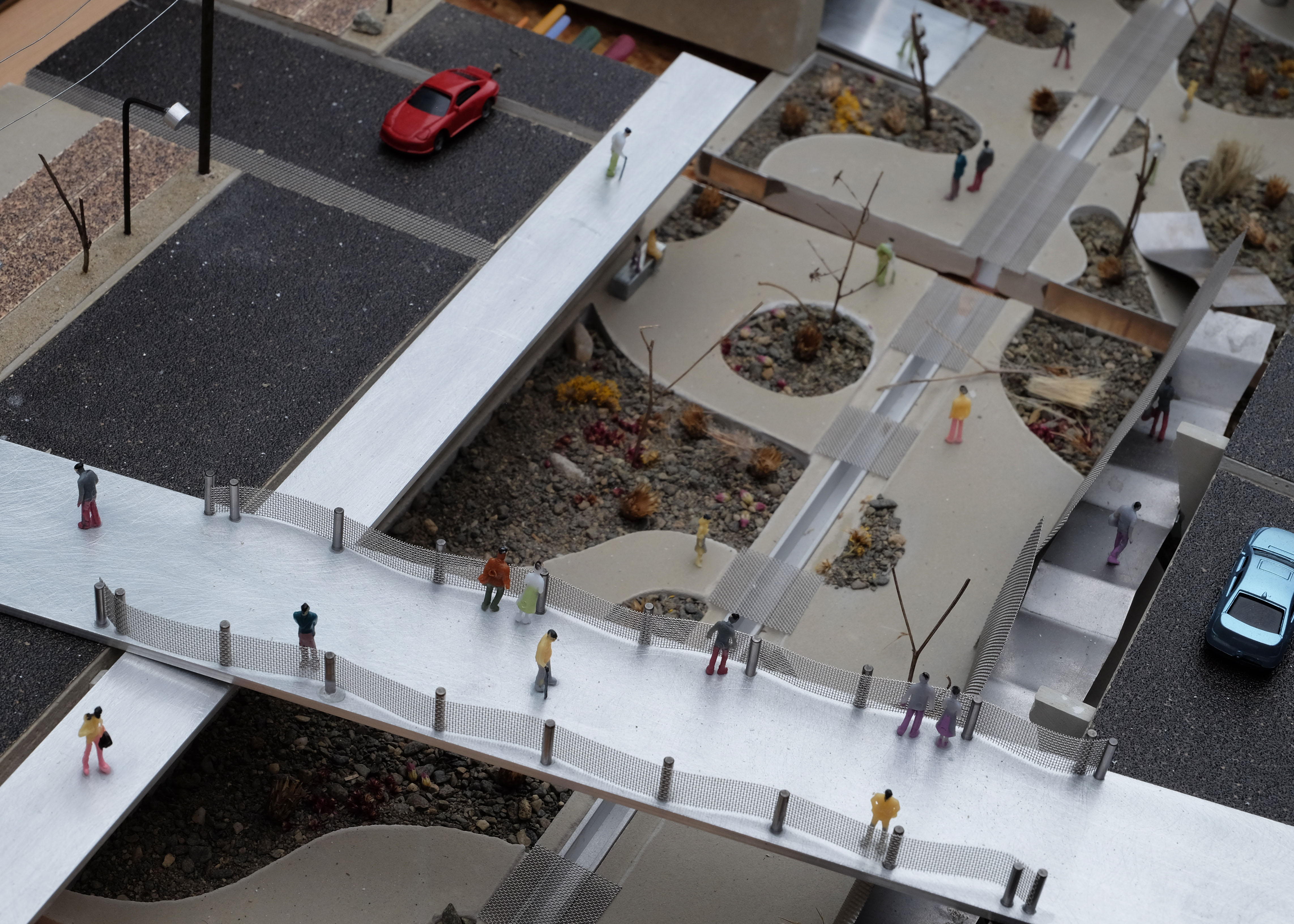
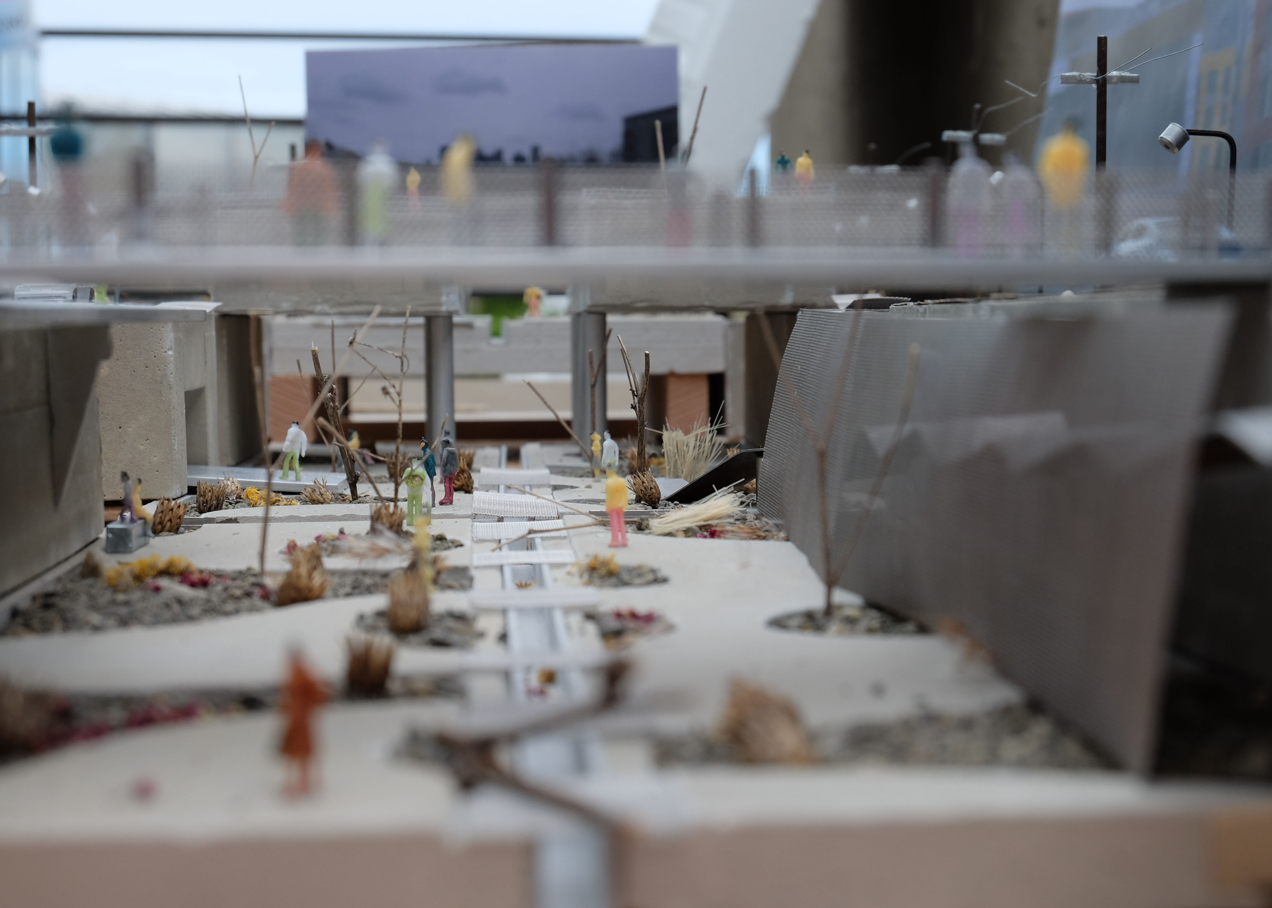
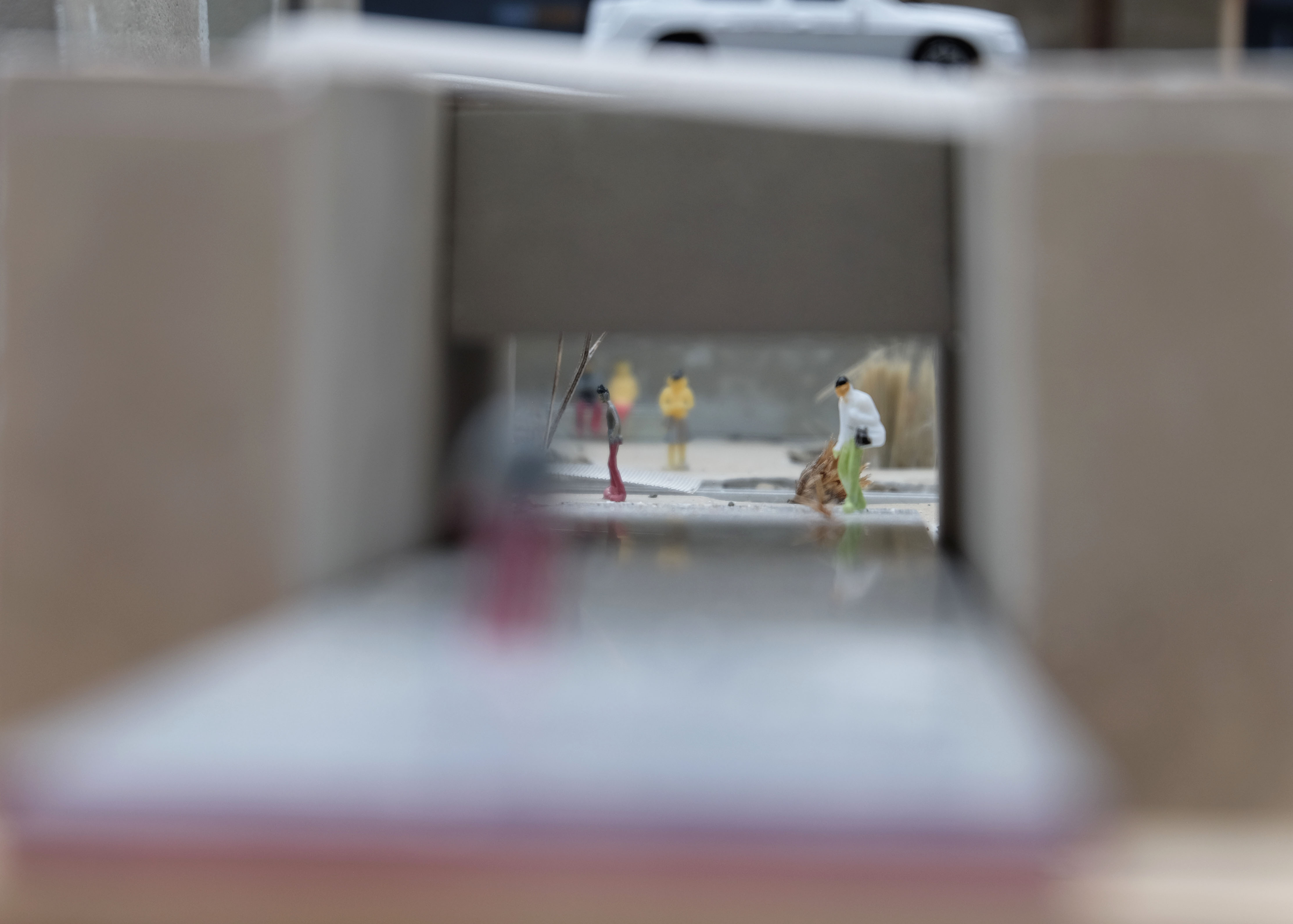
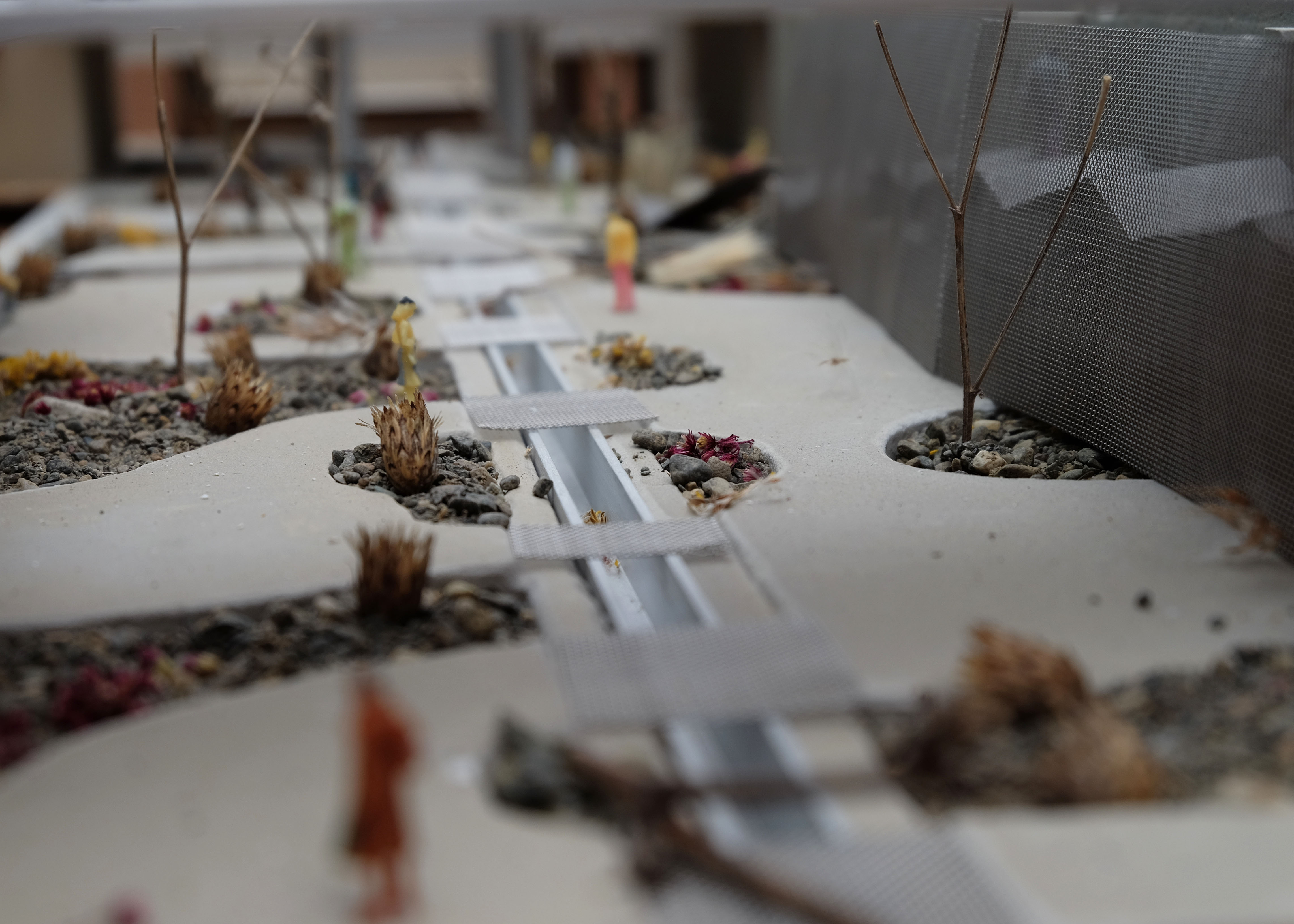
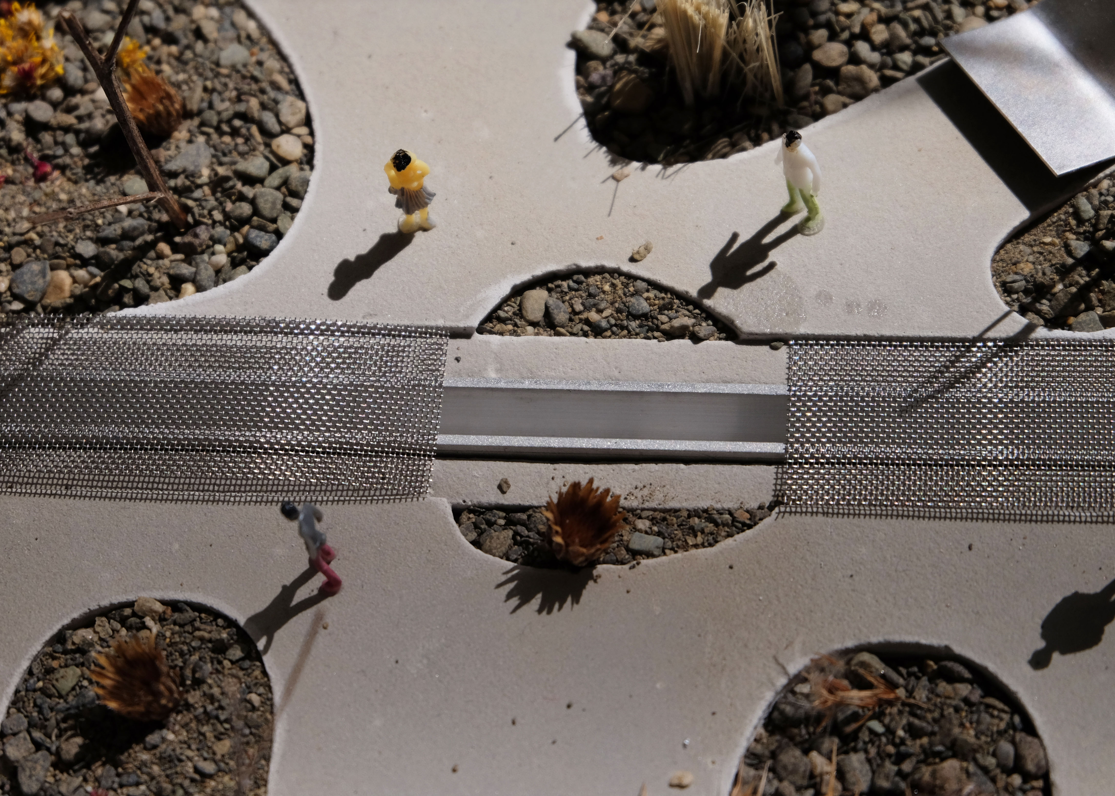
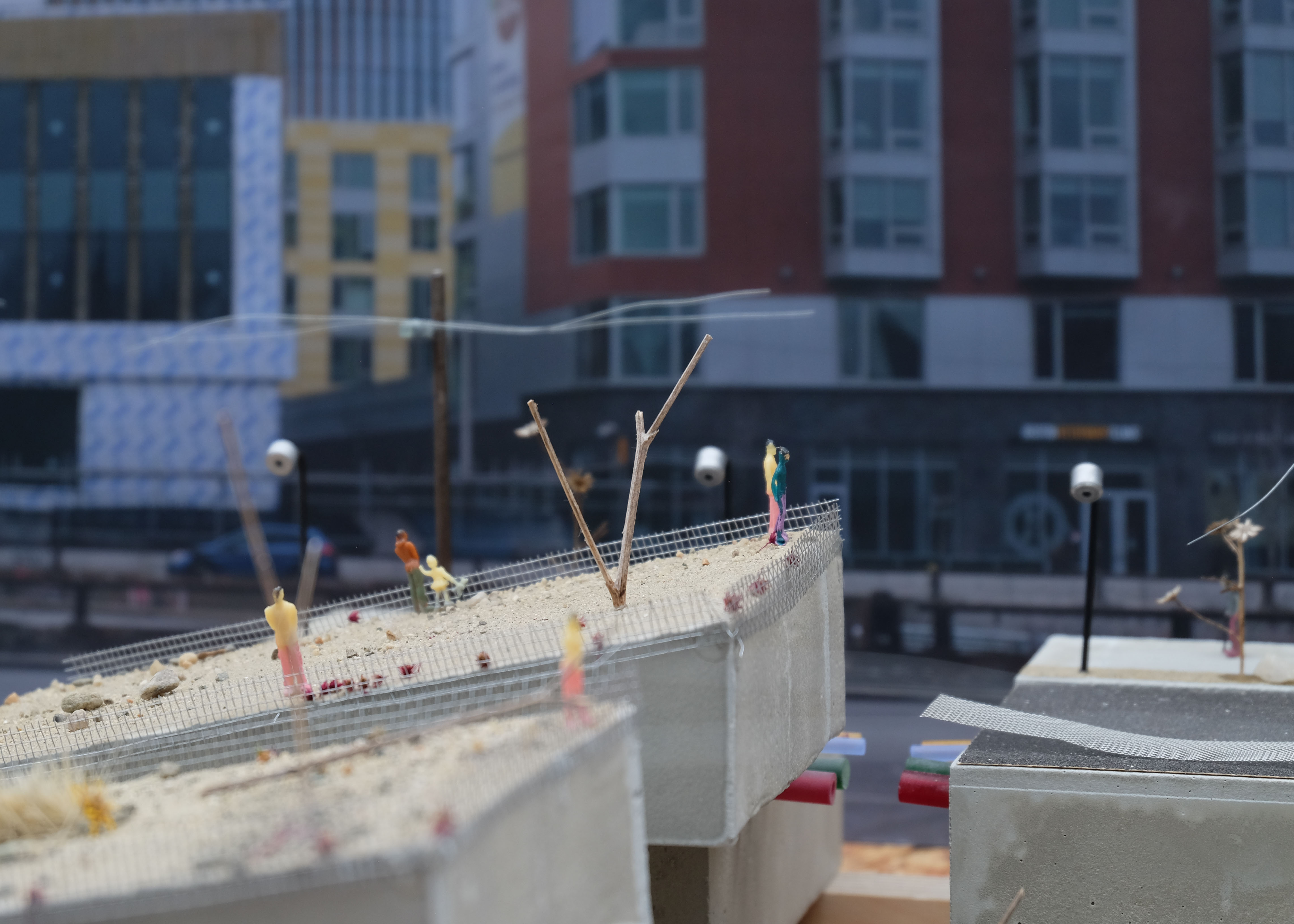
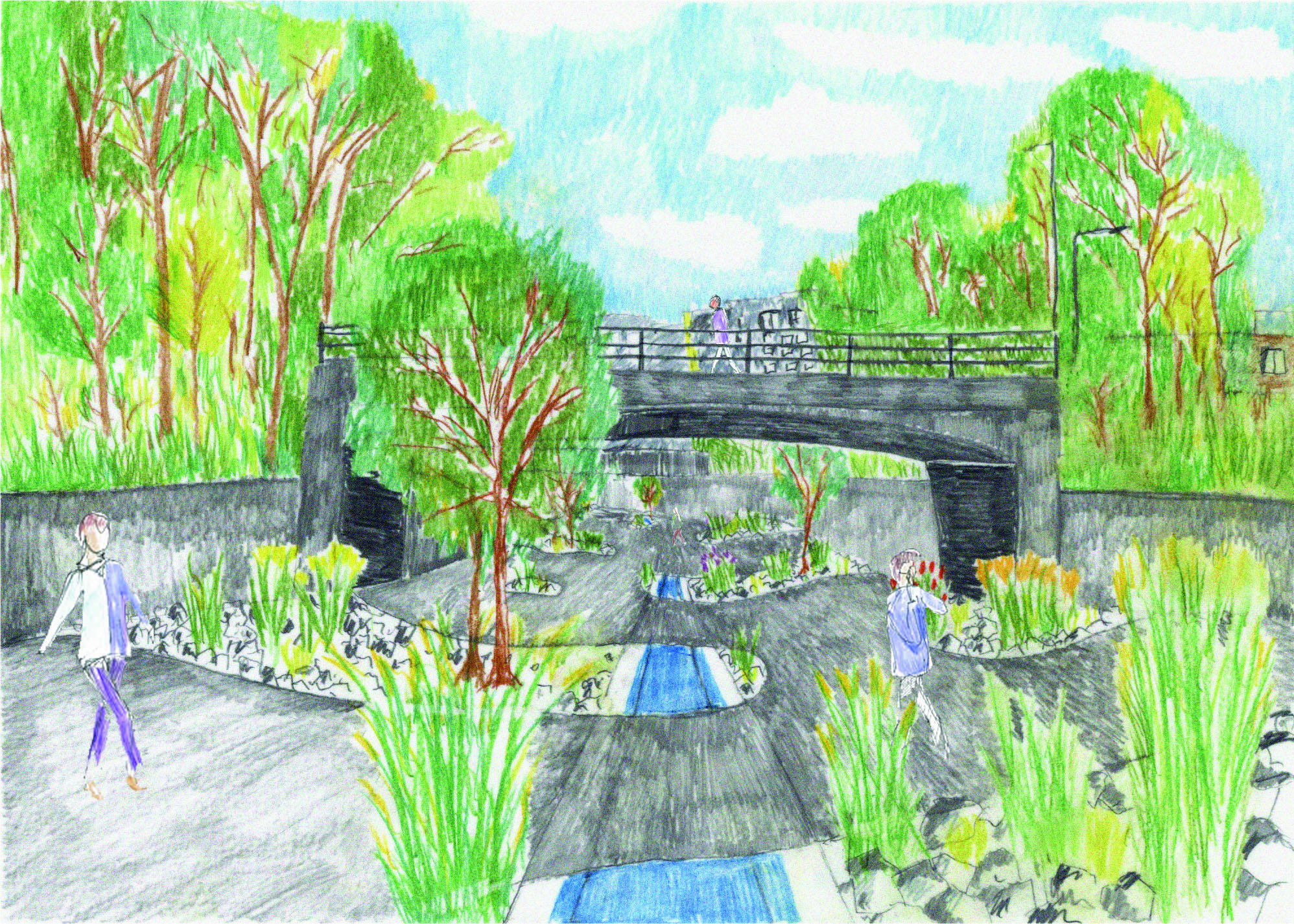
Rutherford Avenue, situated near Charlestown's historic drumlins, is uniquely positioned to serve as both a storm water management solution and a public space. The redevelopment of the Rutherford Corridor focuses on enhancing walkability and bikeability, featuring above and below ground sections that facilitate connectivity and mitigate the divide previously created by the avenue. The design incorporates a network of runnels to efficiently channel storm water from buildings and impervious surfaces to a central storage system. This collected water can then be utilized for new construction needs, groundwater recharge, or irrigation, transforming Rutherford Avenue into a functional and unifying urban landscape. The revitalization of the Rutherford Corridor transforms a historical division into a beacon of unity, weaving water and community into the fabric of Charlestown’s future landscape.